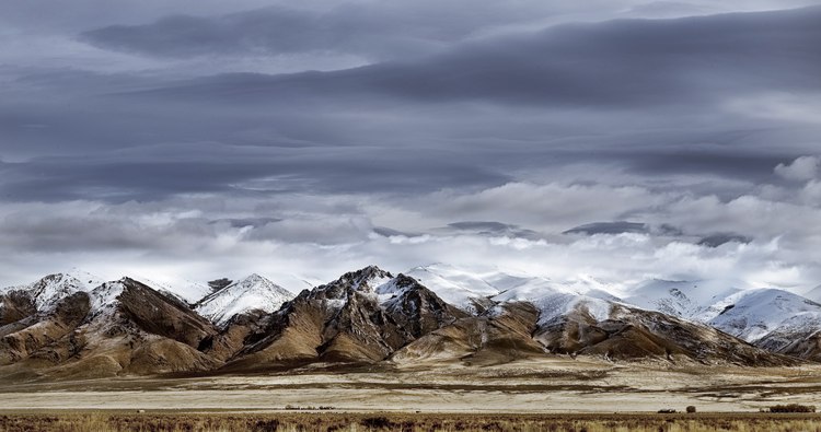
Driving north on Route 95 from Winnemucca through the Quinn River Valley, this region represents northern Nevada's distinct landscape: stunning, endless basins filled with grasses and sagebrush—an exquisite, existential expanse dotted by ranches and small communities. Occasionally shrouded in smoke and dust, especially during late summer wildfires, I recall Hank Snow’s rendition of “I’ve Been Everywhere," singing, “I was totin’ my pack along the dusty Winnemucca road.”
On this midwinter morning, the air was so clear that I could almost touch the snow-covered Santa Rosa Range etched against the horizon. I paused to photograph these mountains, shaped by the arduous movement of tectonic plates that folded and stretched Nevada into waves of ranges and basins. These ranges created unique ecological islands filled with pristine meadows, wildflowers, and stands of aspens and conifers.
The agriculture and ranching in the area depend on the Quinn River, which is fed by snowmelt from the high country. Grain fields surround the community of Orovada in a valley that once served as a lush corridor between the winter and summer settlements of the nomadic Paiute and Shoshone peoples. Today, the tribe’s reservation and the primarily Anglo ranching community—both reliant on fertile soil and clean air— are confronted by the development of a lithium mine that threatens their way of life. Their communities are profoundly impacted by a mining operation that ironically aims to create efficient and cleaner methods of energy production while endangering the air and water of the people and wildlife inhabiting this pristine landscape.
Location research and commentary by James Baker.

