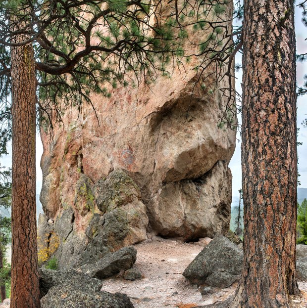
Forty million years ago, a rapid series of eruptions released thick flows of volcanic pumice, ash, and dust that swept across the Ochoco Mountains in north-central Oregon. While still hot, these materials fused into solid rock. As the volcanic tuff began to erode, minerals within it leached over the rock, forming a thin, impervious coating that preserved outcrops of the formation and tinted them yellow and red. When the rock cooled, one section fractured and split into a long, slender column: the 350-foot-high Steins Pillar.
When I moved to Central Oregon, I encountered a landscape almost entirely covered in volcanic rock, so it was a surprise hiking to this immense column, which resembled the types of formation I used to explore in southern Utah's Bryce Canyon. Even the ponderosa pines appeared similar to those along Bryce’s trails, where, like here, they grow around the bases of rocky spires. However, Steins Pillar is not composed of eroding sedimentary rock. Instead, it is part of a long history of Oregon’s volcanic eruptions that shaped its mountains and created the lava flows that cover the high desert plains.
In the Ochoco Mountains, the underlying lava retains water, nurturing dense thickets of ponderosa and lodgepole pines that support a thriving population of deer, bobcats, black bears, and mountain lions. The monolith presides over the surrounding old-growth forest. Rock climbers have long attempted to scale its overhanging layers, grappling with pitons penetrating its hardened exterior, often losing their grip when embedded into the softer, chalky interior. Challenging and dangerous, it was finally summited in 1950.

